
 Emma Jantzen
 Atlanta BeltLine: The Ultimate Guide to Trails, Parks, Public Art & Food
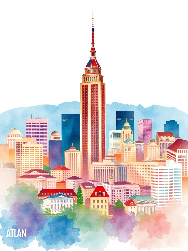
Atlanta’s BeltLine has reshaped how locals and visitors experience the city — connecting neighborhoods, parks, public art, and a thriving food scene along a continuous loop.
More than a trail, the BeltLine functions as a cultural spine that highlights Atlanta’s creativity, walkability, and neighborhood character.
What the BeltLine offers
– Recreation: Miles of multi-use trails for walking, running, and cycling weave through green spaces and restored industrial corridors. Many segments offer smooth pavement and shaded stretches ideal for easy outings or longer workouts.
– Parks and greenspace: Linear parks, restored wetlands, pocket gardens, and playgrounds create urban nature stops that invite picnics, dog walks, and community gatherings. These green links help cool neighborhoods and encourage outdoor living.
– Public art and culture: Murals, sculptures, and rotating installations punctuate trail segments. Outdoor galleries and art festivals bring vibrant creativity directly to passersby, making each walk a discovery.
– Food and retail nodes: Market halls, craft breweries, farm-to-table restaurants, and quirky cafes cluster near major access points. From quick bites to leisurely meals, dining options reflect the city’s culinary diversity.
– Neighborhood access: The BeltLine stitches together dynamic neighborhoods — from creative corridors and historic districts to rapidly evolving commercial strips — making it easy to explore multiple communities in one outing.
Top ways to experience the BeltLine
– Plan a route: Choose a segment that matches your interests — art stops, food destinations, or the longest uninterrupted stretch for exercise. Popular access points double as great starting places because of nearby amenities.
– Combine transit and trail: Use public transit and park-and-ride options to avoid parking headaches near busy sections. Bike lanes and bike-share programs make first- and last-mile connections straightforward.
– Join a tour: Guided walking, biking, or food tours provide context about the area’s history, architecture, and evolving cultural scene, revealing hidden spots you might miss on your own.
– Follow public-art maps: Many community groups publish art maps highlighting murals and installations; following one turns a stroll into a curated gallery walk.
– Time it right: Early mornings offer quieter trail stretches and softer light for photos; weekends host markets and events that add energy and local flavor.
Practical tips
– Wear comfortable shoes and bring water — trail distances vary and some stretches have limited shade.
– Keep an eye on weather and trail conditions; some segments can be busier during festivals or warm-weather weekends.
– Respect neighborhoods: Stay on marked paths, follow local signage, and be mindful of noise near residential areas.
– Safety: Stick to well-lit and populated sections if walking after dark. Trail maps and community updates help identify maintained routes and closures.
Why it matters
The BeltLine is more than a place to exercise; it’s an urban framework that supports economic development, public art, and community interaction.
Because it links parks, transit, and businesses, the trail encourages healthier habits, supports local entrepreneurs, and increases access to cultural programming across Atlanta.
Whether you’re looking for a scenic run, a culinary outing, or a leisurely art walk, the BeltLine offers a flexible way to experience Atlanta’s energy and diversity.
Pick a segment, lace up your shoes, and let the city reveal its layers one block at a time.