
 Emma Jantzen
 How the Atlanta BeltLine Is Transforming City Life, Neighborhoods & Transit
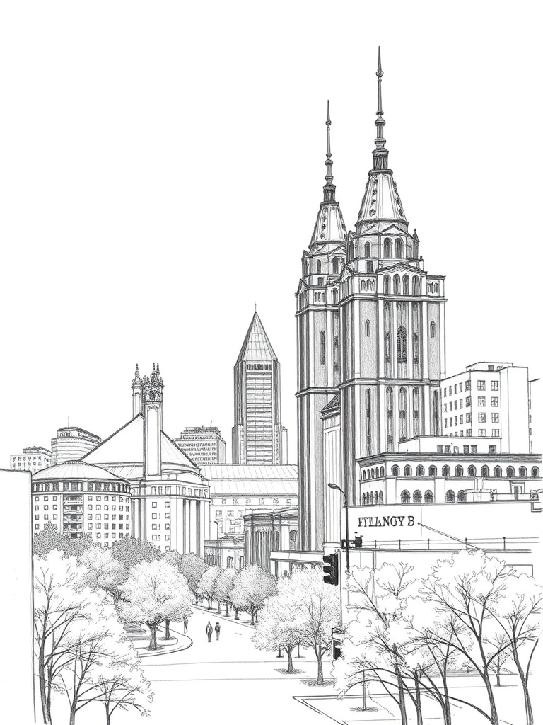
How the Atlanta BeltLine Is Shaping City Life
The BeltLine has become one of the most visible examples of how urban planning, public art, and active transit can reshape a city. What started as a rail corridor vision has evolved into a network of multiuse trails, parks, affordable housing initiatives, and commercial corridors that connect neighborhoods across Atlanta.
The result is a living blueprint for walkability, placemaking, and community-driven development.
Why it matters
The BeltLine does more than provide a scenic path for walking and biking. It creates continuous green space through dense neighborhoods, improves stormwater management through park infrastructure, and gives small businesses access to steady pedestrian traffic. Public art installations and performance spaces along the trail make the corridor a cultural spine for the city, rather than a single recreational amenity.
Where to start exploring
Popular access points include trailheads near Piedmont Park and points along the Eastside Trail, which offer easy connections to restaurants, markets, and nightlife. Hidden gems are found on the Westside and Southside corridors—emerging parks, community gardens, and independent galleries reward those willing to stray from the busiest sections. For a relaxed visit:
– Bring a bike or rent one locally to cover more ground.
– Time visits for weekday mornings or late afternoons to avoid weekend crowds.
– Combine trail time with stops at neighborhood markets and coffee shops to get a fuller sense of local life.
Public art and events
Art is integral to the BeltLine experience. Rotating murals, sculpture gardens, and pop-up performances create dynamic public spaces that change with local talent and seasonal programming. Neighborhood festivals and guided walks are frequent, showcasing culinary diversity and small-business entrepreneurship along the corridor.
Economic and social impacts
The BeltLine has catalyzed significant private and public investment. New housing, retail, and office developments have transformed former industrial blocks into mixed-use districts. That change brings conveniences but also tensions: rising property values can put pressure on long-term residents and local businesses. Community land trusts and affordable housing initiatives try to mediate displacement, and ongoing public engagement aims to balance growth with equity.
Transit and connectivity
While the BeltLine’s primary role is as a multiuse trail system, it also functions as a backbone for local transit ideas.
Connections to existing bus and rail lines increase mobility between neighborhoods, making a car-free day more plausible for many residents and visitors.
Continued advocacy focuses on expanding these linkages to make the network even more useful for daily commuting.
Practical tips for residents and visitors
– Parking can be limited near popular trailheads; consider transit or rideshare for peak times.
– Wear layered clothing—weather can vary across the city’s microclimates and shade levels.
– Support local businesses: small cafes, breweries, and galleries benefit more from a passing visitor than a national chain.
– Respect community spaces: keep dogs leashed where required, carry out trash, and follow posted trail rules.
The BeltLine continues to demonstrate how urban design can knit neighborhoods together, support small business activity, and create new public spaces that prioritize people over pavement. Whether used for a morning run, an afternoon of art and food, or a longer neighborhood stroll, the corridor offers a way to experience the evolving character of Atlanta—one trail segment at a time. Keep an eye on local listings for new events, openings, and community meetings that shape what comes next along the route.