
 Emma Jantzen
 Atlanta BeltLine: How a Rails-to-Trails Project Reshapes Neighborhoods, Culture & Commerce
Atlanta’s BeltLine: how a rails-to-trails vision is reshaping neighborhoods, culture, and commerce
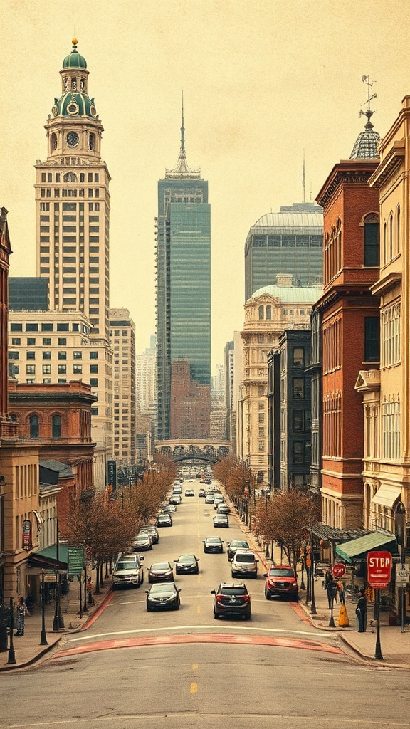
The Atlanta BeltLine has become one of the city’s most visible urban transformations, connecting neighborhoods with parks, trails, art, and economic opportunity. What began as a concept to repurpose freight rail corridors into a continuous loop of public space has evolved into a sprawling network that influences transportation, housing, recreation, and community life across the city.
A continuous trail network and more
At the heart of the project is a multi-use trail—now widely used by walkers, runners, and cyclists—that links parks, community gardens, and pocket greens. The BeltLine also anchors larger park projects and event spaces that host farmers markets, pop-up performances, outdoor classes, and food festivals. Wayfinding signage, public art installations, and interpretive panels help tell local stories while making the corridor user-friendly for visitors and locals.
Public art and cultural programming
Public art is a core feature, with rotating murals, sculptures, and community-led installations enlivening underpasses and green spaces. Cultural programming along the BeltLine prioritizes local creatives and gives small arts organizations a platform to reach diverse audiences.
For people seeking the city’s creative pulse, the BeltLine offers a compact route to experience Atlanta’s music, visual arts, and food cultures.
Economic development — benefits and challenges
The BeltLine has catalyzed new development and small-business growth in adjacent neighborhoods, attracting cafes, studios, retailers, and mixed-use projects.
That economic activity creates jobs and amenities, but it has also intensified concerns about displacement and affordability. City leaders, community organizations, and developers continue to negotiate strategies to preserve affordability, including targeted investment in affordable housing, small-business support, and community land trusts.
Access and mobility
While the BeltLine is not a full transportation subway, it improves walkability and provides low-carbon mobility options for short trips between neighborhoods.
Bike-share and e-scooter services frequently operate along segments, and several transit hubs and bus corridors intersect with the BeltLine, enhancing connections across the city. For commuters and recreational users, the trail offers a pleasant, traffic-free route that complements other urban mobility options.
Tips for using the BeltLine
– Choose less crowded stretches early morning or late afternoon for a quieter experience.
– Respect signage and stay to the right on shared paths; use a bell or voice to signal when passing.
– Support local businesses along the route—cafes and markets often showcase neighborhood flavors.
– Bring a reusable water bottle and sun protection; some sections have shaded seating and water refill stations.
– Consult official maps and event listings before visiting; pop-up events and closures can affect access.
Community engagement and stewardship
Ongoing stewardship relies on volunteer efforts, neighborhood associations, and nonprofit partnerships. Volunteer cleanups, adopt-a-trail groups, and community gardening projects help maintain green spaces and foster a sense of ownership.
Residents who engage with planning meetings and local nonprofits influence priorities for future phases and help ensure that benefits flow to long-term residents.
Why it matters
The BeltLine illustrates how urban design can weave public health, culture, mobility, and economic development into a single corridor.
For visitors, it’s a practical and scenic way to explore diverse parts of Atlanta.
For residents, it’s a living laboratory of urban change—one that continues to prompt thoughtful conversations about equity, sustainability, and shared public space.
Explore a segment, join a community event, or simply walk a stretch to see how a reclaimed rail corridor has been turned into one of Atlanta’s most vibrant public assets.